The Maritime Public Domain (MPD) is the land at the edge of the sea known as the shore. It includes the sandy, pebble, or rocky beaches, and is delineated by the point reached by the highest wave in the winter season (Decision 144/S, 1925). As the name indicates, it is a public space for everyone. Yet, poorly enforced laws and incoherent development strategies fueled by private economic interests have gradually taken over this public space since the civil war in 1970s.
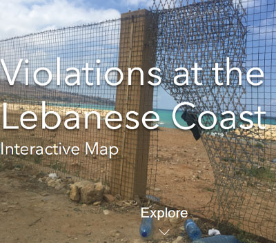
This interactive map presents the research done by NAHNOO on the violations along the Lebanese coast. Choose what layers to display from the layers tab on the side bar. Click on the Info tab on the side bar and choose the lots to view detailed information.